Attaching package: 'dplyr'The following objects are masked from 'package:stats':
filter, lagThe following objects are masked from 'package:base':
intersect, setdiff, setequal, union
Attaching package: 'dplyr'The following objects are masked from 'package:stats':
filter, lagThe following objects are masked from 'package:base':
intersect, setdiff, setequal, unionPart 1
Part 2
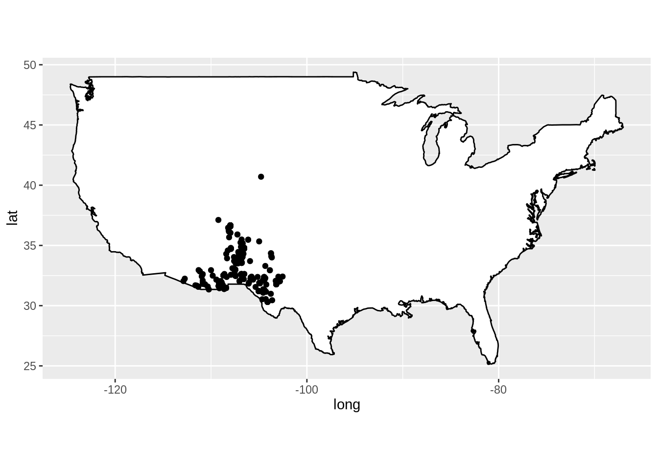
  longitude latitude
1 -110.8364 31.84453
2 -110.8364 31.84453
3 -107.2796 33.54195
4 -107.2843 33.54431
5 -107.2793 33.54238
6 -106.7221 34.33834
Part 3